Greenland vs. Africa
The illusion: On a Mercator map, Greenland looks about as big as the whole African continent.
The reality: Africa covers 30,370,000 km² and Greenland only 2,166,086 km², so Africa is more than 14 times larger.
Play the Country Size Comparison Game: flat world maps stretch countries near the poles, so Greenland looks as big as Africa. Guess which country is larger, compare true land areas side by side, or sort up to ten countries by size.
10 random countries. Share the run to challenge a friend on the same set.
🇨🇳China
Asia · Capital: Beijing · Pop: 1.41B
🇵🇰Pakistan
Asia · Capital: Islamabad · Pop: 240M
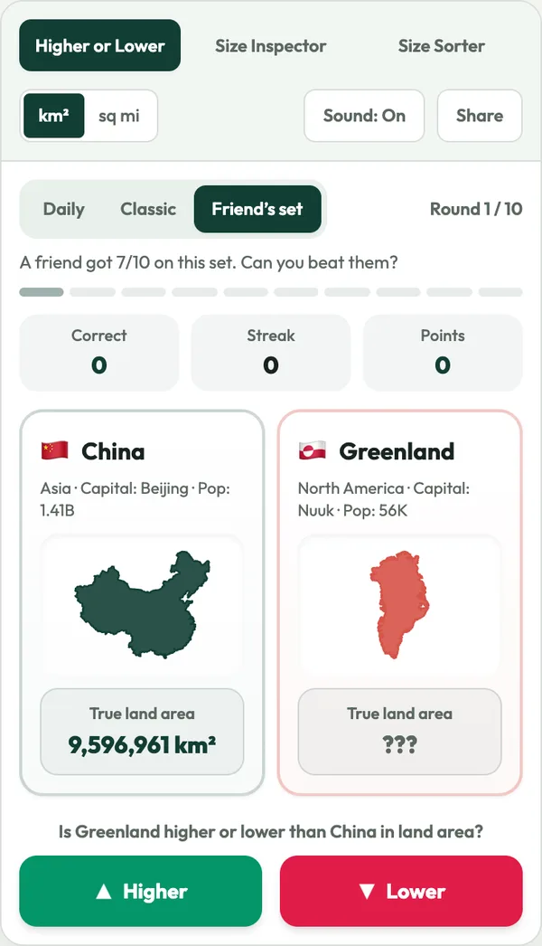
Is Pakistan higher or lower than China in land area?
From quick five-minute quizzes to deep side-by-side analysis, choose your preferred challenge mode.


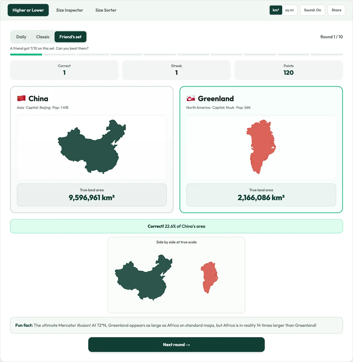
Play a ten-round run on real country outlines. Country A shows its land area while Country B hides it: decide whether B is larger or smaller, build a streak and earn a rank. It is the fastest way to train your country size comparison instincts.


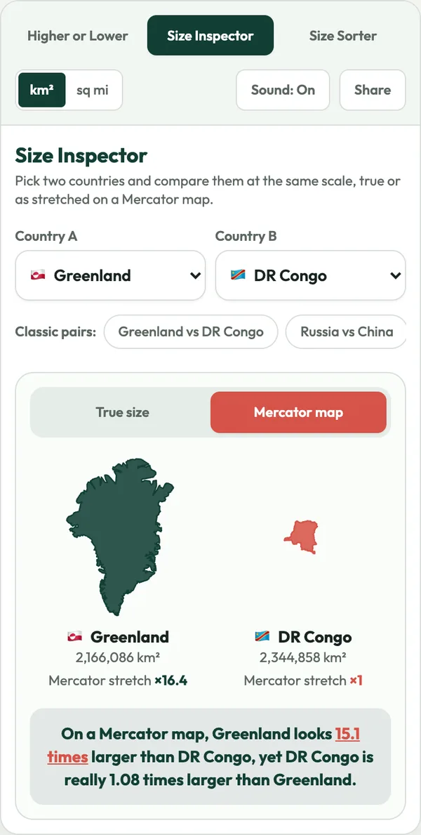
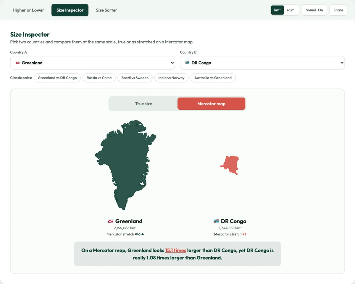
Pick two countries and see them side by side at the same scale. Switch to the Mercator view to see how a standard world map inflates countries far from the equator, then switch back for a true country size comparison.


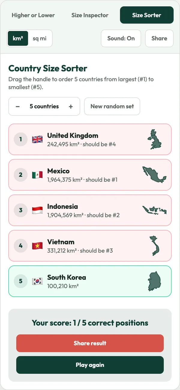
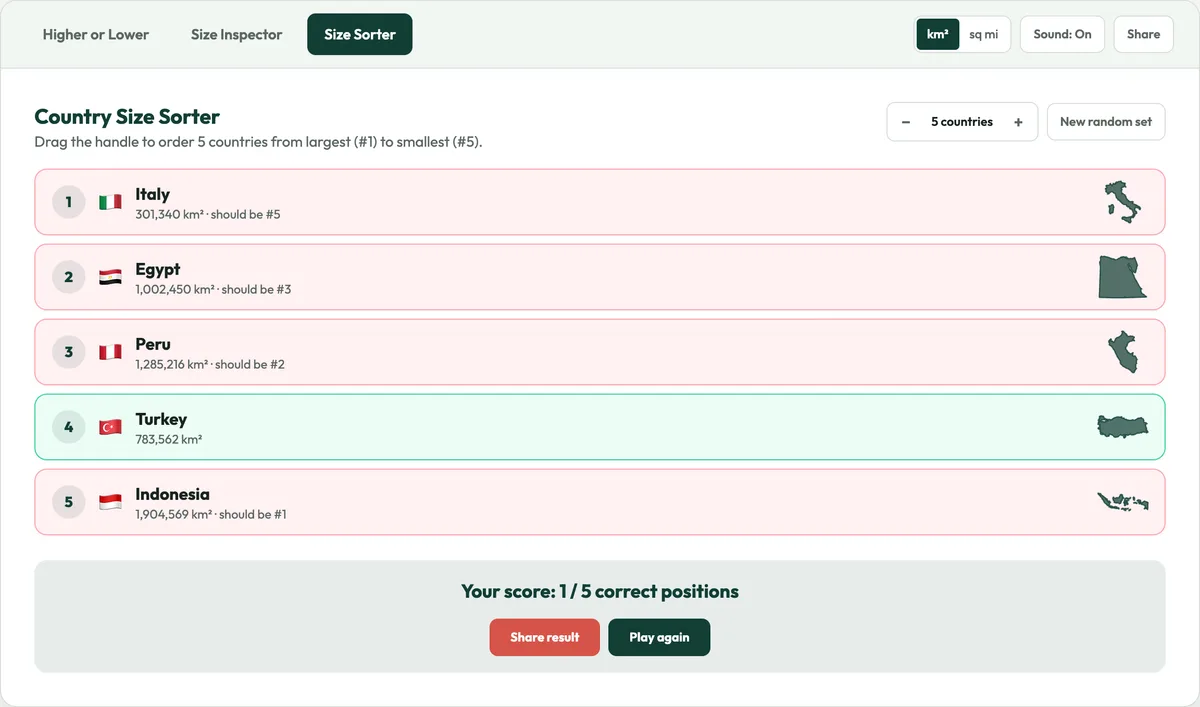
Drag countries into order from largest to smallest. Choose how many to rank, from a quick three-country round to a ten-country challenge, then check your answer against the real land areas.


Every day brings one new set of ten countries, the same for everyone. Finish the run, share a compact result, and send a link so friends play your exact set and try to beat your score. No account needed.
Outlines come from Natural Earth map data and are drawn at true scale.
See exactly how much a standard world map inflates each country.
Open the page and play the country size comparison game right away. There is nothing to download and no account to create.
Switch between square kilometres and square miles at any time.
Every answer comes with a short geography fact about the country.
Every country size comparison uses standard published land-area statistics, ranked from Russia down.
Large touch targets, a compact two-country layout and drag-to-sort rows keep the game comfortable on phones and tablets. There is nothing to install.

How standard classroom maps fool our spatial intuition every single day.
The illusion: On a Mercator map, Greenland looks about as big as the whole African continent.
The reality: Africa covers 30,370,000 km² and Greenland only 2,166,086 km², so Africa is more than 14 times larger.
The illusion: Stretched across the far north, Russia looks about twice as big as Africa on wall maps.
The reality: Russia is the largest country on Earth at 17,098,246 km², but Africa (30,370,000 km²) is almost twice as large.
The illusion: In the far north of North America, Alaska looks big enough to rival South America.
The reality: Alaska covers about 1,717,856 km², while Brazil spans 8,515,767 km². Brazil could fit nearly five Alaskas.
The illusion: Norway, Sweden and Finland sit at the top of Europe and look enormous on classroom maps.
The reality: The three countries together cover about 1,173,926 km². India spans 3,287,263 km², almost three times as much.
Countries near the equator, such as DR Congo, Brazil, Indonesia and Colombia, are barely stretched and are usually larger than they look.
Countries above 50°N, such as Greenland, Canada, Russia, Sweden and the UK, are inflated by 2x to 10x on a Mercator map.
Archipelagos like Indonesia and Japan stretch across thousands of kilometres of sea, but open water does not count as land area.
Russia, Canada, China, USA, Brazil, Australia, India, Argentina, Kazakhstan and Algeria are the ten largest countries.
| Rank | Country | Continent | Area (km²) | Mercator Stretch | % of Earth |
|---|---|---|---|---|---|
| #1 | 🇷🇺Russia | Europe | 17,098,246 | 4.8x | 11.48% |
| #2 | 🇨🇦Canada | North America | 9,984,670 | 4.7x | 6.70% |
| #3 | 🇨🇳China | Asia | 9,596,961 | 1.6x | 6.44% |
| #4 | 🇺🇸United States | North America | 9,525,067 | 2.3x | 6.40% |
| #5 | 🇧🇷Brazil | South America | 8,515,767 | 1.1x | 5.72% |
| #6 | 🇦🇺Australia | Oceania | 7,692,024 | 1.2x | 5.16% |
| #7 | 🇮🇳India | Asia | 3,287,263 | 1.2x | 2.21% |
| #8 | 🇦🇷Argentina | South America | 2,780,400 | 1.5x | 1.87% |
| #9 | 🇰🇿Kazakhstan | Asia | 2,724,900 | 2.3x | 1.83% |
| #10 | 🇩🇿Algeria | Africa | 2,381,741 | 1.3x | 1.60% |
| #11 | 🇨🇩DR Congo | Africa | 2,344,858 | 1x | 1.57% |
| #12 | 🇬🇱Greenland | North America | 2,166,086 | 16.4x | 1.45% |
| #13 | 🇸🇦Saudi Arabia | Asia | 2,149,690 | 1.2x | 1.44% |
| #14 | 🇲🇽Mexico | North America | 1,964,375 | 1.2x | 1.32% |
| #15 | 🇮🇩Indonesia | Asia | 1,904,569 | 1x | 1.28% |
| #16 | 🇸🇩Sudan | Africa | 1,861,484 | 1.1x | 1.25% |
| #17 | 🇱🇾Libya | Africa | 1,759,540 | 1.3x | 1.18% |
| #18 | 🇮🇷Iran | Asia | 1,648,195 | 1.4x | 1.11% |
| #19 | 🇲🇳Mongolia | Asia | 1,564,110 | 2.1x | 1.05% |
| #20 | 🇵🇪Peru | South America | 1,285,216 | 1x | 0.86% |
| #24 | 🇿🇦South Africa | Africa | 1,221,037 | 1.3x | 0.82% |
| #25 | 🇨🇴Colombia | South America | 1,141,748 | 1x | 0.77% |
| #29 | 🇪🇬Egypt | Africa | 1,002,450 | 1.3x | 0.67% |
| #31 | 🇳🇬Nigeria | Africa | 923,768 | 1x | 0.62% |
| #35 | 🇵🇰Pakistan | Asia | 796,095 | 1.3x | 0.53% |
Mercator maps exaggerate Europe and North America and shrink the tropical continents. Country size comparison with real land-area data rebuilds an accurate sense of scale.
Gauss's Theorema Egregium proves that a sphere cannot be flattened without distortion. Country size games make that trade-off concrete and train real 3D spatial thinking.
Break free from Mercator map distortion! Challenge today’s 10-country run or see if your friends can judge true land area better.